japanese
A report on a field survey of the coastal area of the City of Boston
- In Boston, it is assumed that the reorganization of space in coastal areas as well as in park systems will progress through “Climate Ready Boston”, a comprehensive approach to climate change adaptation. From August to September 2019, I walked the target areas to understand the current situation of the sites and the progress of the initiatives.
Home Page of Climate Ready Boston
-
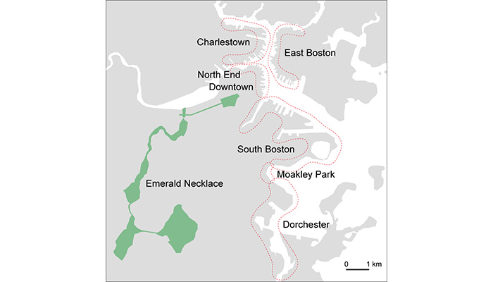
About half of the land in Boston was gained through reclaiming the sea. In the coastal areas vulnerable to sea level rise, reorganization of the spaces is planned in order to both reduce flood damage and improve access to water. As of September 2019, master plans have been developed for each coastal area shown in the map below. I visited the target areas in Charlestown, East Boston, North End, Downtown, South Boston, and Moakley Park, which plans had been open to public in August 2019.
-
Charlestown
The flood can pass through the lowest part of Main Street from the coast to the inland. The road will be raised with construction of a new road.
On the shores of Ryan Playground (right) and Schrafft's Center (left), raised parks, plazas, water decks, reclaimed tidal flats are planned.
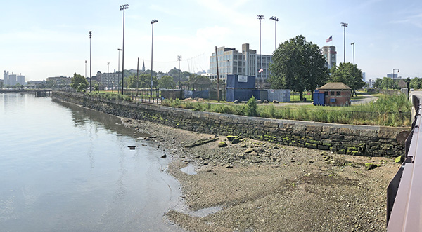
A raised park was already in place on the shore of Spaulding Rehab hospital.
Home Page of Climate Ready Charlestown
-
East Boston
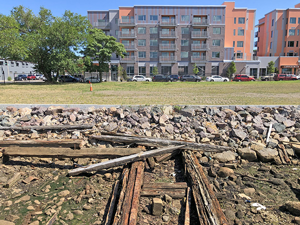
On the sea side of Marginal Street, constructions of condominiums are progressing. It is predicted that the Marginal Street waterfront is one of the flood pathways in East Boston. The buildings seem to have been designed preparing for flooding. The first floors of some of the buildings are sufficiently higher than ground level. The others are piloti or warehouse. In contrast to the raised blocks, the streets remain low. There are plans to construct raised parks and walking decks along the coastal lines.
East Boston Greenway was built on the former site of the rail road. The greenway is lower than the surrounding blocks and is predicted to be a flood pathway to the inland. A flood gate will be installed at the intersection with the street.
In the coastal areas where developments are progressing, some of the spaces will be kept open and become waterfront parks. This is the former site of ship repair dock.
Condor Street Urban Wild:
On the former industrial site, walking paths and observation decks along the landform of embankment, and grassland and salt marsh were made.
Landscape Architect Guides of Condor Street Urban Wild
Home Page of Climate Ready East Boston
-
North End / Downtown
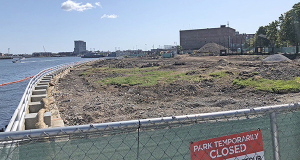
Puopolo Langone Park was being renovated for raising the ground.
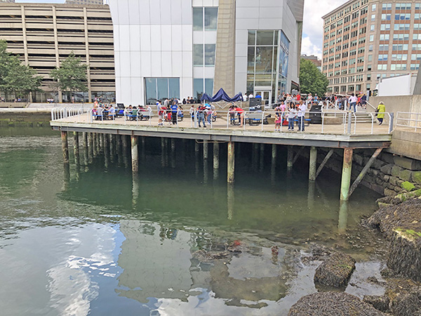
Existing water deck next to New England Aquarium. In downtown, harbor walks functioning as seawall are being constructed along the bay where many wharves line. Along with the renovation of the aquarium, an underwater observation deck that rises and falls with the tide level is also planned.
The Blue Way, STOSS Landscape Urbanism
The street from the aquarium through Rose Fitzgerald Greenway to Custom House is a flooded road, so raising the greenway and sideways is being considered.
Home Page of Climate Ready Downtown and North End
-
South Boston
A raised park and a walk deck have been already built along the portion of Fort Point Channel. A playground, called Martin's Park, is behind a levee, about 3 meters high and planted with many trees.
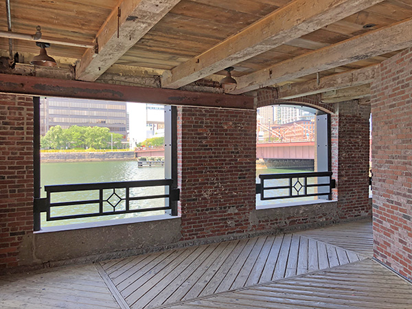
Parts of the Fort Point Channel waterfront are fully occupied by buildings. The first floor of the buildings are open to public like this photo. Flood frequency is predicted to increase with sea level rise.
Large scale development will progress on the east bank of Fort Point Channel (right). Raised parks and decks will be built by the project.
Pier 4 Waterfront Park and Plaza(Reed Hilderbrand LLC Landscape Architecture,Photo by Gary Hilderbrand)
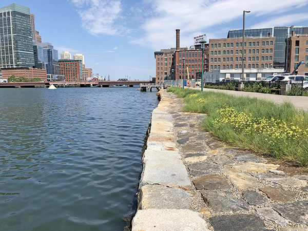
Condominiums and offices are being constructed on the waterfront of South Boston. The site of this condominium has been raised to a height that is sufficiently higher than the high tide predicted in 2070. The colors of stones of the wharf are different between top and bottom. Toward sea, lawn rising, stone masonry descending and walk decks overhanging will increase awareness of living with water.
Pier 4 Waterfront Park and Plaza, Reed + Hilderbrand LLC Landscape Architecture
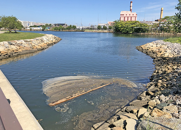
Around Reserved Channel, a large industrial park, called Raymond L. Flynn Marine Park, is on the process of redevelopment. Salt marshes will be regenerated at the end point of the channel as a buffer zone for storm surges.
A marine trail connecting Marine Park to Castle Island and enclosing Pleasure Bay, is based on the plan drawn by Frederick Law Olmsted as a part of Boston's park system. In order to increase resilience of South Boston's neighborhood to flooding, either fully enclosing the bay by raised levees or only raising Marine Park are being considered.
Landscape Architect Guides of Pleasure Bay and Castle Island
Climate Ready South Bostonのホームページ
-
Moakley Park
The park is said that the sports facilities become unavailable every time it rains because located on a flat lowland facing sea. It is also predicted that flood will pass through the park and reach inland neighborhoods in 2070s. The renewal design of the park is on the process in order to increase resilience of the coastal areas as well as enhance accessibility of neighbors to both the park and the sea. It includes changing land form, optimizing circulation, planting for defining spaces and placing facilities for various programs.
Accessibility of neighbors to the park does not seem high enough because a wide road is between the park and the surrounding. It is said that the park is not used much by the neighbors.
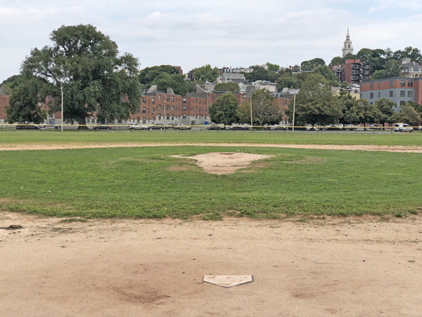
The park itself is attractive for its openness and peacefulness. Trees, houses and a symbolic steeple on Dorchester Heights can be seen over ranch-like baseball fields.
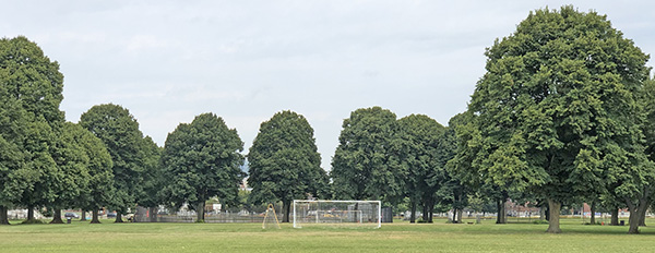
Canopies of linden trees cast precious shadows on the ground, and their columns define the sports field.
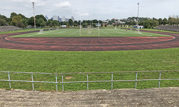
South end of the site is 3 meters higher, so a stadium is sit into the slope. Dorchester Heights and buildings of downtown can be seen from the stadium.
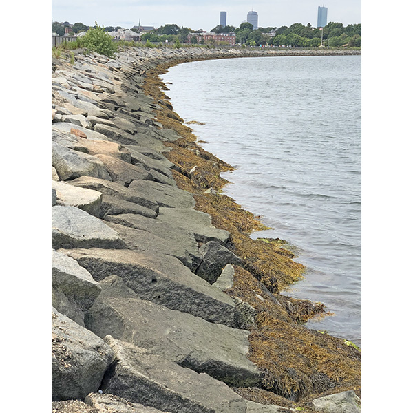
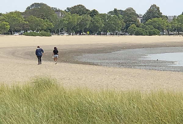
Carson Beach and Old Harvor on east side right next to a wide road. A beach house is visible in front.
Home Page of Moakley Park Vision Plan
Moakley Park, STOSS Landscape Urbanism
-
Emerald Necklace
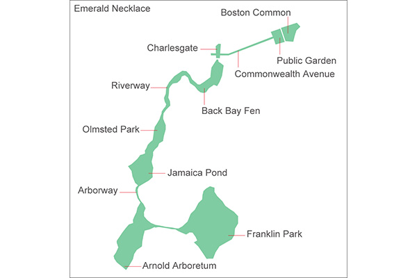
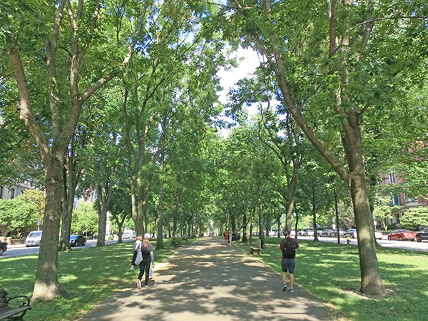
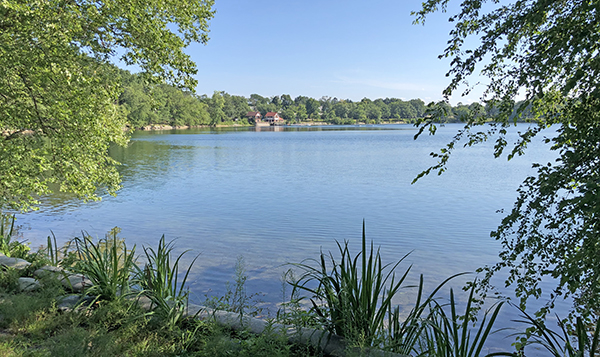
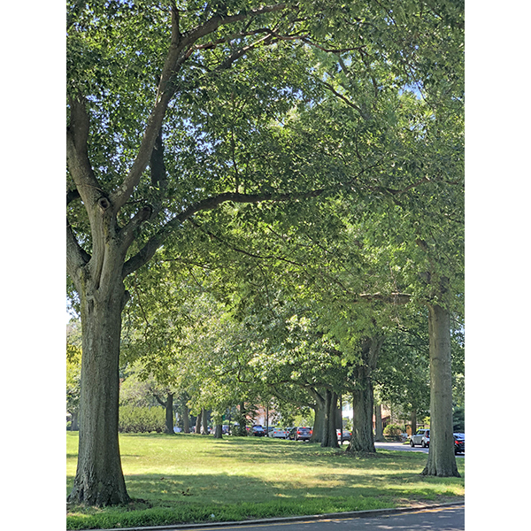
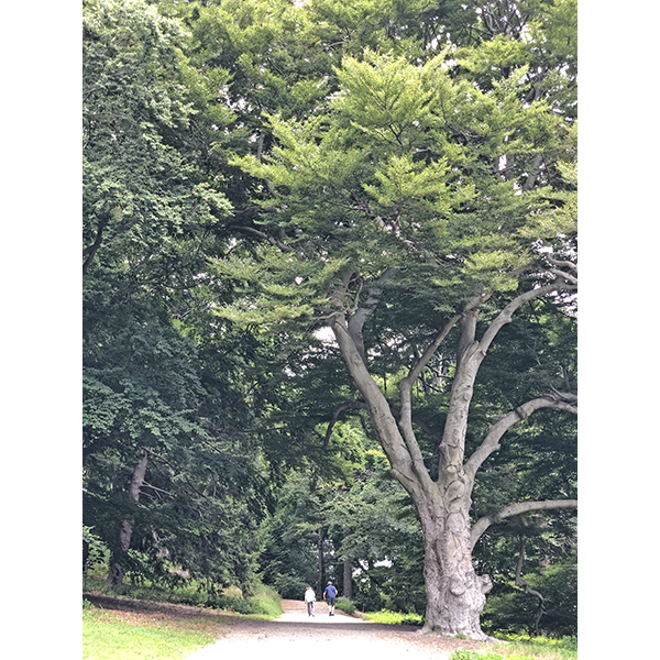
Emerald Necklace is likely the first park system of the world. Climate Ready Boston includes measures against rainwater floods and abnormally high temperatures in addition to controlling flood damage caused by rising sea levels. Emerald Necklace can be thought as a green infrastructure absorbing urban run off and providing tree shades.
Boston Common
Currently, a master plan for full renovation is under consideration.
Home Page of Friends of the Public Garden
Public Garden
Commonwealth Avenue
Charlesgate
This is the connection between Commonwealth Avenue and Back Bay Fen. Currently, plans to use it as a public space in the neighborhood are being considered.
Home Page of Charlesgate Alliance
Back Bay Fen
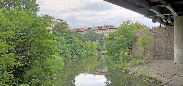
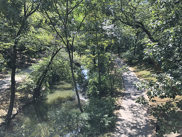
The Muddy River restoration project is in progress. In the section from Jamaica Pond to Charlesgate, measures are taken to reduce flooding, improve water quality, and preserve the environment. It is also positioned as one of Climate Ready Boston's initiatives.
Muddy River Restoration Project のホームページ
Riverway
Olmsted Park
Jamaica Pond
Arborway
Arnold Arboretum
Franklin Park
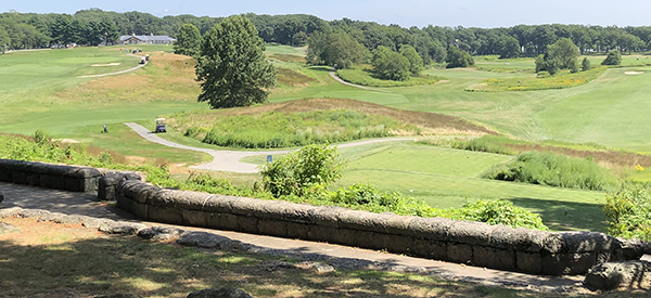
This is the largest park in Boston, including a zoo and a golf course. From now on, a master plan for renewal is considered. Reed + Hilderbrand LLC Landscape Architecture is in charge of the project.
Home Page of City of Boston
Home Page of Emerald Necklace Conservancy
